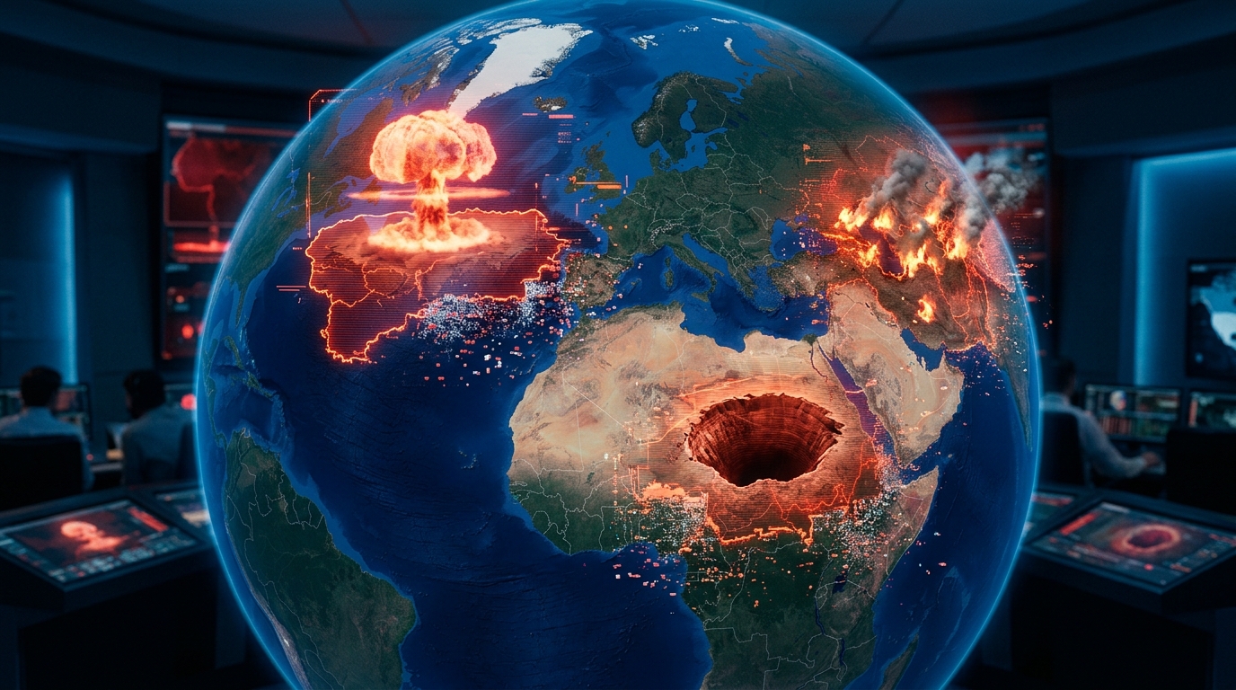
Google Earth pulls its AI in 24 hours: Nano Banana 2 generated fake disasters on real locations
Launched on a Thursday, withdrawn by Friday. The "Create Image" feature on Google Earth — powered by Nano Banana 2 (Gemini 3.1 Flash Image) — allowed users to generate a plausible satellite image of any location in the world. Within 24 hours, it produced fake nuclear plants in Iran, fictitious attacks, and invented tsunamis. A breakdown of a failed launch.
On July 30, 2026, Google globally launched "Create Image" on Google Earth: a feature that allowed users to generate a plausible image overlaid on any real-world location using a simple text prompt, leveraging real satellite, aerial, and 3D data already stored by Google.
On July 31, 2026 — less than 24 hours later — Google withdrew the feature. The reason: users had massively created fake disasters anchored to existing locations. An imaginary nuclear plant in Iran (reported by Forbes), a fictitious attack in Paris, an invented tsunami, giant craters, "alien" activities. Some images were intentional jokes; many were produced deliberately to misinform.
What Create Image was in Google Earth
The feature used Nano Banana 2 — the marketing name for Google's image model, technically Gemini 3.1 Flash Image. While a typical image generator creates an image "from scratch," Nano Banana integrated with Google Earth had access to:
- High-resolution satellite imagery of the selected area
- Available aerial views and 3D models
- Geographic context data (terrain, vegetation, urban density)
The model then generated an image that plausibly resembled the real location, incorporating what the user requested: "add a forest fire", "show me this square crowded with people", "what if a crater opened here?".
The scenario planned by Google
The official communication highlighted professional and educational uses:
- Urban planners visualizing a development project
- Researchers modeling the impact of a climate event
- Teachers illustrating a geography lesson
- Civil security services simulating crisis scenarios
On paper, the idea made sense. In reality, the benefit/risk ratio tipped in less than a day.
The evidence that swayed Google
Several teams documented the problem in real-time:
- Henk van Ess, a recognized OSINT investigative journalist, published a series of examples showing how convincingly and virally the feature could produce images, indistinguishable at first glance from a real satellite photo.
- NPR generated scenes of "protests", "riots", "refugee camps" in politically sensitive areas.
- Futurism demonstrated that it took only seconds to create an image anchored on an airport, a military port, a factory.
- Forbes revealed that a user had produced a fake nuclear plant visible by satellite on an Iranian site.
Google's tolerance threshold was breached. By Friday, the feature was withdrawn.
The official statement
"While geospatial professionals were using this feature for valuable purposes, we also observed users sharing generated image captures that appear to violate our policies. Therefore, we are removing the feature from Google Earth while we implement more robust safeguards." — Google
The structural problem: geographic anchoring + plausible generation
This combination is what makes this case unique. An image generator like Midjourney or DALL·E produces groundless images — without a verifiable spatial reference. An informed viewer knows a generated image might be fake.
Nano Banana + Google Earth is different:
- The background is real (actual satellite imagery of the location).
- The generated layer visually integrates coherently (shadows, resolution, angle).
- The export is shareable on networks with GPS coordinates.
Result: an observer seeing a "Google satellite" image of an event in a sensitive country on Twitter has no reliable way to disqualify it at first glance. It's the visual authentication that collapses.
The issues such a tool poses
1. Targeted disinformation
Creating a "satellite proof" of a non-existent event becomes trivial. A supposed Chinese military installation in the desert, a training camp in the Middle East, deforestation in the Amazon — each fabrication can fuel a disinformation cycle before its nature is traced.
2. Geopolitical risks
The fake Iranian nuclear plant spotted by Forbes is the caricature example. Similar content, shared at the right time (just before diplomatic negotiations, a UN vote, a considered preemptive strike), could influence decisions before its refutation reaches decision-makers.
3. Impact on ongoing conflicts
In current armed conflicts (Ukraine, Gaza, Sudan), satellite imagery is an essential fact-checking tool. A proliferation of fake "satellite" images undermines this reference. OSINT investigations — key to citizen counter-power on conflicts — become slower and more contested.
4. Insurance, land registry, real estate
A malicious user can fabricate evidence of a disaster ("my land suffered a flood, here's the satellite image"), a property usurpation, or even fake illegal construction records.
5. Watermarking: insufficient in practice
Since 2024, Google has imposed an invisible SynthID watermark on its generated images. It's useful, but:
- The watermark disappears with aggressive compression/cropping used on networks
- No mainstream platform automatically checks SynthID
- A malicious user can capture the image on screen and leave without a watermark
The technical mechanism exists. It is not connected to the real usage chain.
6. The safeguard paradox
The main problem for Google is this: the safeguards that would prevent malicious uses ("don't generate fire", "no crowds", "no military installations") would make the tool unusable for the professional uses it was meant to serve (crisis simulation, dense development project, rescue planning). Locking too much = breaking the product. Locking too little = letting disinformation through.
Where do we go from here?
Google indicates it is working on "more robust safeguards" before a possible redeployment. Three probable avenues:
- A restriction to verified accounts (professionals, researchers, governments) with prior identification
- A mandatory visible watermark on all generated images (not just invisible SynthID)
- A blacklist of sensitive locations (military installations, nuclear sites, conflict zones) where generation is blocked
These measures will mitigate risks without eliminating them. The real lesson from this episode is of another order: when an AI tool is connected to a widely accepted reality reference (Google Earth), the disinformation it produces automatically inherits the credibility of that reference. No technical safeguard fully compensates for this transfer of credibility.
A launch in 24 hours / a withdrawal in 24 hours. This episode will be remembered as the first global-scale AI safety recall. It won't be the last.